How Drone Surveillance Works: Protecting Large Areas From The Sky

One of the greatest challenges facing organisations across Africa today is effectively monitoring vast and often remote areas. Whether it’s a 1,000-hectare farm, a 50km pipeline, a sprawling construction site, or critical infrastructure, traditional ground methods are no longer enough.
Problems are frequently discovered too late — after significant damage or loss has occurred. This is why drone surveillance is rapidly becoming a game-changer across multiple industries.
What Is Drone Surveillance?
Drone surveillance is the use of unmanned aerial vehicles (UAVs) equipped with advanced sensors to monitor, inspect, and collect real-time data over large areas. It goes far beyond simple video recording by combining live visuals with intelligent mapping and analytics.
Instead of relying solely on foot patrols, fixed cameras, or manual inspections, operators can now gain a dynamic, bird’s-eye view of operations.
How Drone Surveillance Actually Works
A typical professional drone surveillance operation follows these steps:
- Mission Planning — Operators define the area, flight paths, and objectives (perimeter patrol, hotspot monitoring, or full-area scan).

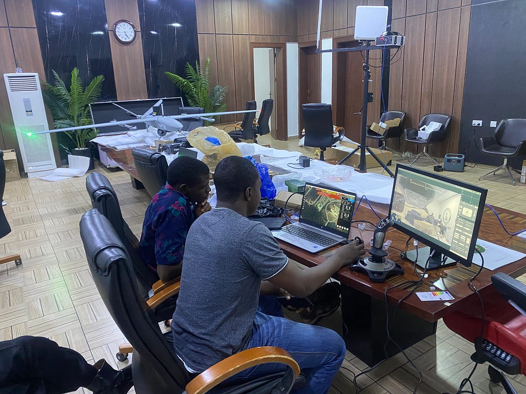
2. Deployment — Drones are launched manually or through automated flight programs.
3. Data Capture — Equipped with high-resolution RGB cameras, thermal imaging, and sometimes LiDAR, drones collect visual, thermal, and geospatial data.
4. Live Transmission & Analysis — Footage is streamed in real time to a control centre or mobile device. AI-powered software can flag unusual movement, anomalies, or security breaches.
5. Actionable Reporting — The system generates evidence-grade videos, maps, and alerts for immediate response or future investigation.
Modern systems can operate day and night, with flight times ranging from 30 to 60+ minutes per mission, and some enterprise drones offering beyond-visual-line-of-sight (BVLOS) capabilities.
Key Benefits Across Industries
- Agriculture: Early detection of intruders, cattle herds, and crop stress across hundreds of hectares.
- Oil & Gas: Rapid inspection of pipelines, flow stations, and remote facilities, reducing downtime and theft.
- Construction: Real-time progress tracking, safety monitoring, and volumetric measurements.
- Infrastructure & Security: Monitoring power lines, highways, and high-risk zones with fewer personnel.
- Telecommunications: Tower and fibre route inspections in difficult terrain.

Organisations using drone surveillance commonly report 40–60% faster response times and significant reductions in operational losses.
Why It’s Growing Fast in Africa
Africa’s vast landscapes, expanding infrastructure projects, and security challenges make drone technology particularly valuable. It reduces the need for large ground teams in risky or inaccessible areas, lowers long-term operational costs, and provides better evidence for law enforcement.
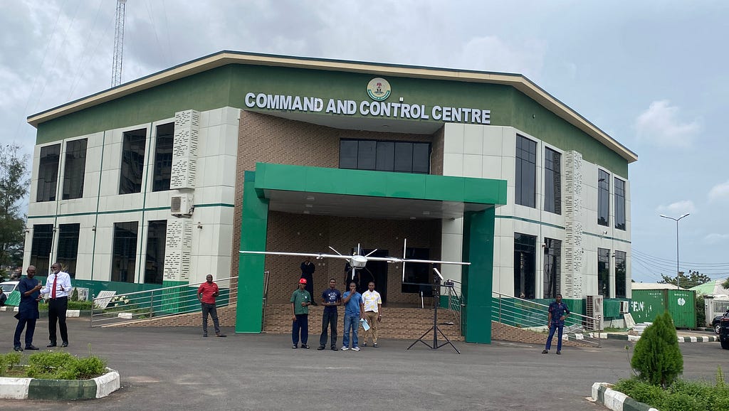
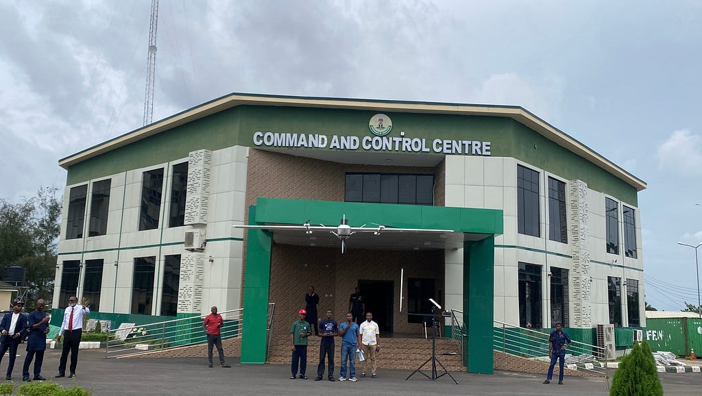
Companies like BeatDrone are designing solutions specifically for African conditions — rugged, dust-resistant systems with strong thermal capabilities and easy-to-use interfaces for local teams.
Key Takeaway: Drone surveillance works by combining aerial mobility, advanced sensors, and real-time intelligence to overcome the visibility limitations of traditional methods. It enables organisations across agriculture, energy, construction, and security to monitor large areas faster, safer, and more effectively.

Coming Next: Real-life results and case studies — how organisations in Nigeria and across Africa are using drone surveillance to cut losses and improve operations.
Beat Drone
Originally published on Medium